Maps are not a foreign tool; they have been a part of all our lives and can be traced back to more than 5,000 years ago. Today, maps are part of people’s lives daily as they have become an integral element to a multiplicity of services and experiences – from search and navigation to food and parcel deliveries and mobility solutions.
While for most end-consumers maps seem to be working fine, in many regions, maps are incomplete, inconsistent, and often inaccurate. 75% of the world is badly addressed and about 4 billion people live without an official address. The statistics don’t stop there, 80% of addresses in developing countries are not verified and even in developed countries still, 20% of addresses are unreliable.
The surge in e-commerce activities over the past years has brought an exponential demand for hyperlocal services. Consumers have progressively gone digital when it comes to shopping, and this growth has been further fueled to over 4-6 years by the coronavirus pandemic.
Yet, the lack of reliable mapping, addressing, and geocoding in many regions remain among the biggest hyperlocal challenges for the traditional mapping industry and the success of the location-based service economy.
This raises the question – how can we advance the state and function of maps to meet the accuracy and real-time relevance that location-based service providers need? What should be the next step in the evolution of maps?
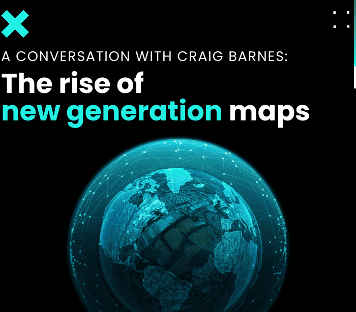
To reflect on these questions, we spoke to Craig Barnes about the rise of a new generation of maps that can bring the accuracy that the digital and hyperlocal economies demand. Craig is one of UNL’s advisors, who is advising the UNL tech team on mapping, search, and geocoding.
Craig comes with more than 17 years of experience in Geospatial Visualization, Data Science, and Human-Computer Interaction. His expertise includes developing tools and environments for modeling and exploring large-scale data.
Currently, Craig is a Director of Visualization at the Center for Translational Data Science (CTDS) at the University of Chicago. Before joining CTDS, he was a Senior Research Manager at HERE Technologies – the #1 location data company in the world, where he led various research projects in Machine Learning, Geospatial Modeling, and Visualization. Craig received his Ph.D. in Computer Science from the University of Illinois and is a member of ACM, SIGGRAPH, SIGSPATIAL, SIGCHI, and Eurographics.
We caught up with Craig to discuss his interest in UNL and the geospatial space and cover the future of mapping.
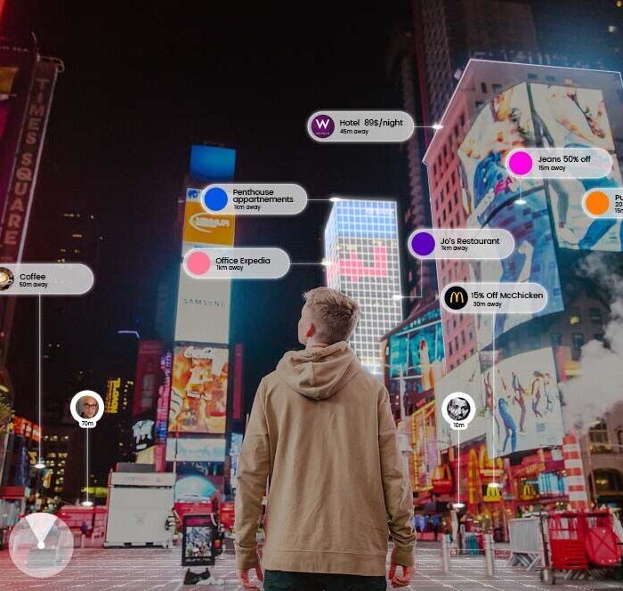
The role of maps has changed over the decades. Maps are no longer being used solely to get people from A to B. The majority of today’s companies are heavily relying on accurate addressing, mapping, and routing to optimize services, operations, and customer experience.
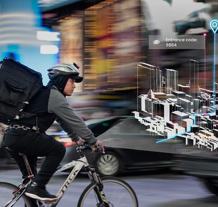
But the world is far from perfectly mapped. To date, mapping has largely focused on urban areas but there is still a huge lack of mapping data when it comes to rural areas, venues, and indoor spaces. Next to this, there is an inherent fuzziness and uncertainty to the “where” of locations and how to get from an address to the final destination. Even though a lot of improvements have been made to advance GPS performance, it can only get you so far.
The next evolution of maps moves the attention from the well-known places to filling out more of the unknown areas of the world, complex spaces, and multimodal transportation. The maps of tomorrow will be built on capabilities to capture hyperlocal data and bind it to specific geospatial locations in a contextual manner.
To get there we need a micro-location technology like UNL’s cell-based infrastructure that allows us to:
The map in the future is also a self-healing one, but populating maps with real-time information is still a challenge. One solution would be to introduce incentive models and monetization mechanisms that would allow to tap into local knowledge and stimulate data collection from various sources.
Essentially, turning people anywhere in the world into mappers and contributors – be it a delivery driver, merchant, end consumer, or student on campus. In this, UNL’s mapping and data contribution tools can play a huge role in keeping the freshness and relevance of maps and data quality.
"The maps of tomorrow will be built on capabilities to capture hyperlocal data and bind it to specific geospatial locations in a contextual manner."
Craig Barnes Tweet
Our Team can help you with:
Our Team can help you with:
Fill in your details and we’ll get back to you in no time.