Map tiles that scale with your business requirements
VECTOR & RASTER MAP TILE APIs
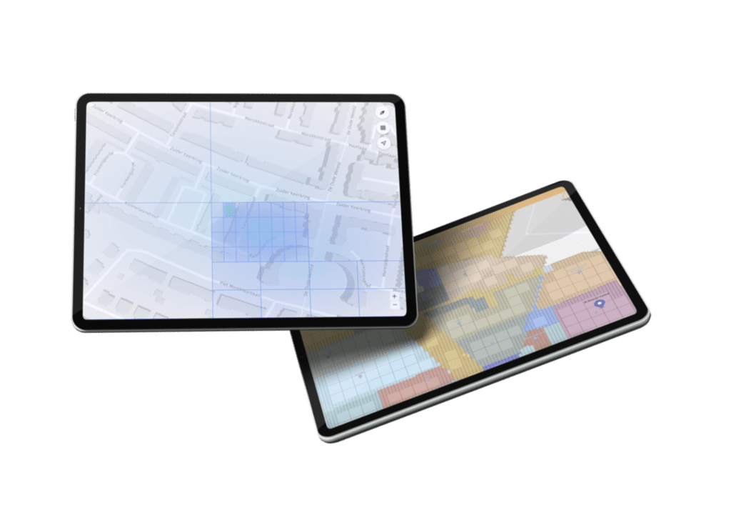
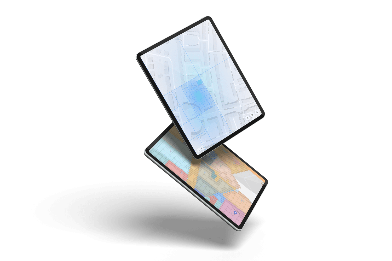
View and render geospatial data through scalable vector map tiles, designed for low latency performance.
Supports custom map styles and custom overlays
Data agnostic and OGC compliant
Highly scalable and cost effective
Retrieve metadata information for a specific location, label or object
Power your map experiences with dependable performance
MAP SDKs
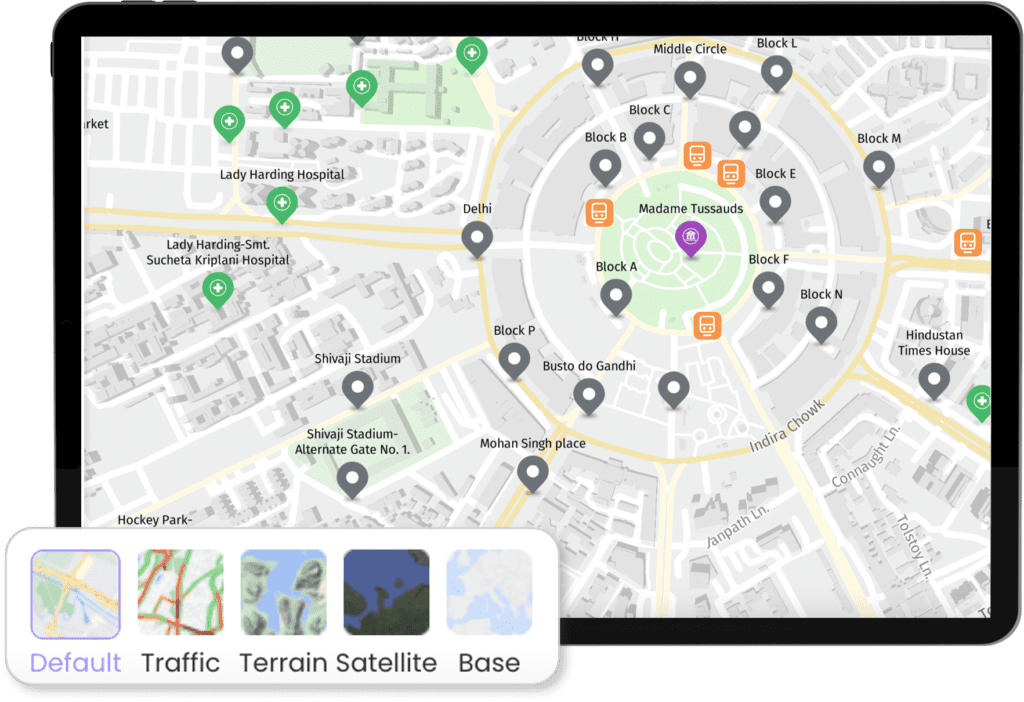
Deploy dynamic maps across web and mobile platforms with direct integration of vector map tiles. Packaged with interactive map controls, UNL’s Map SDK creates an immersive mapping experience for any application.
Integrate highly scalable and low latency UNL Map Tiles with added controls for selecting map style schemes, zoom levels, map panning and custom resolutions
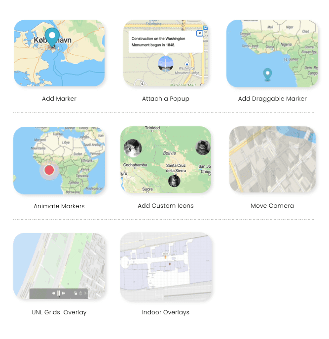
Overlay geospatial data using vector data formats. (JSON, Geojson, CSV and KML)
Map visualisation support for both 2D and 3D content
Proprietary plugins to support seamless indoor map overlays
Powered by UNL’s Smart Grid, enabling a location identity for every place on the planet at various resolutions